


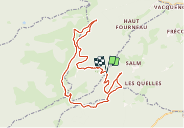


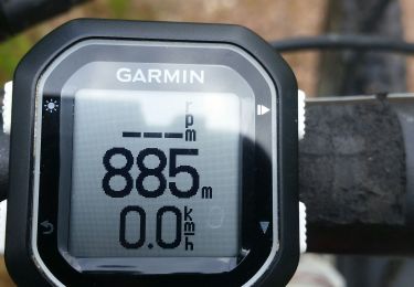
13 km | 19 km-effort

User


FREE GPS app for hiking
 SityTrail
IGN / Geographical institutes
SityTrail World
The world is yours!
Trail Walking of 19.9 km to be discovered at Grand Est, Bas-Rhin, La Broque. This trail is proposed by Bart2015.
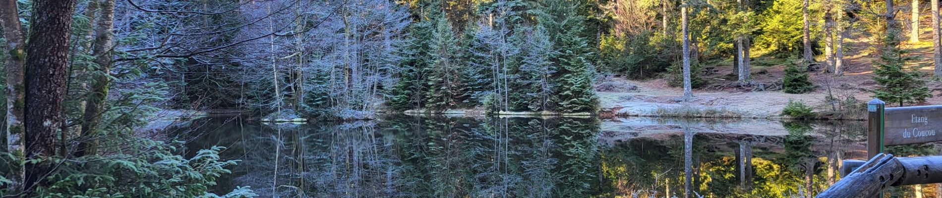
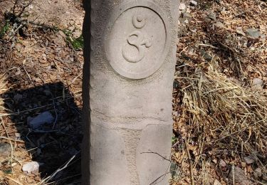
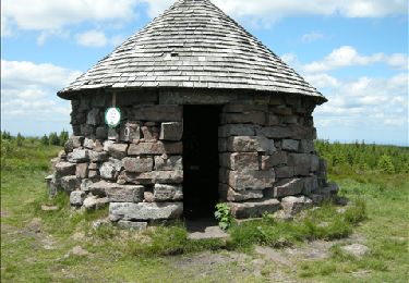
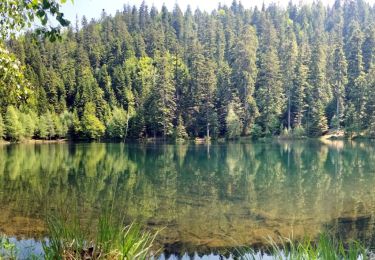
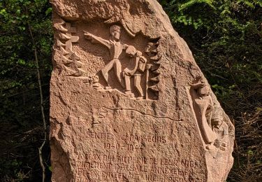
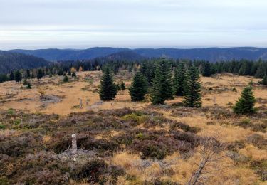
Magnifique rando dans des paysages époustouflants. De nombreuses découvertes : le château en cours de restauration (attention à respecter les interdictions), le site de la chatte pendue (à trouver ...), des pierres à cupules, les découvertes avant et à la Haute loge, la chapelle et son histoire (petites croix à trouver ...), les hauts lieux du maquis, ...
Bonnes découvertes et bonne rando ...


37 photos in total. Please click on a photo to see them all in the gallery.
Walking

Walking

Walking
Walking
Walking
Walking
Walking
Mountain bike
Walking